

A sixteen-year-old with a learner’s permit would have stopped at that flooded road. One of the most advanced autonomous driving systems ever built did not.
In May 2026, Waymo recalled nearly 3,800 robotaxis — effectively its entire U.S. fleet — after vehicles slowed but failed to stop when they met flooded, impassable roadways. On April 20, 2026, an unoccupied Waymo drove into floodwater in San Antonio and was swept into Salado Creek; separate incidents in Austin showed vehicles rolling onto flooded streets and stalling. No one was hurt, and Waymo filed the recall voluntarily. But the episode exposes the single hardest problem in autonomy — and points straight at the infrastructure layer the industry has been missing.
| ~3,800 Robotaxis recalled after flooded-road incidents | 10–30 cm URGNs™ lane-level accuracy, in any weather | $0 Cost to taxpayers to deploy URGNs™ |
The 1% that doesn’t fit the training data
Everyone celebrates what autonomous vehicles do in ideal conditions: lane keeping, highway cruising, predictable intersections. Waymo remains the global leader in operational robotaxis, with more than 500,000 paid rides a week across multiple U.S. cities and tens of millions of autonomous miles on a best-in-class sensor and HD-mapping stack.
And yet a scenario any human driver would recognize in a second — standing water across the lane — still slipped through. That is the nature of the long tail. A flooded road. A police officer waving traffic through a red light. A child darting out from behind a parked car. Humans solve these almost instinctively. For camera-, LiDAR-, and GPS-based systems they remain open problems, because the sensors AVs lean on most are exactly the sensors that degrade when conditions get hard.
Why cameras, LiDAR, and GPS fail when the weather turns
Optical perception is only as good as what it can see. Cameras lose contrast and lane markings in rain, snow, fog, glare, and standing water. LiDAR returns scatter off raindrops, snowflakes, and spray. Painted lane lines vanish under slush, flooding, or worn pavement. And GPS/GNSS — the one signal that is supposed to tell a vehicle where it is — drifts by several meters in urban canyons, degrades under heavy cloud and tree cover, and cuts out entirely in tunnels and covered areas.
Several meters of error is the difference between the correct lane and oncoming traffic. So today’s robotaxis stay heavily dependent on clean visibility and current maps. When the weather turns, operators do the only safe thing they can: geofence, slow down, or suspend service. That is not a path to all-weather, around-the-clock autonomy.
The fix is not more cameras. It is giving vehicles a positioning signal that doesn’t depend on line of sight or optical clarity — a ground truth for “which lane am I in?” that holds in any weather.
The missing layer: all-weather terrestrial micropositioning
That is what URGNs™ — Ultra-Wideband Roadway Geometry Networks — provide. URGNs is a network of low-cost ultra-wideband (UWB) beacons embedded in and mounted along the roadway that broadcasts precise lane geometry to any equipped vehicle or device. Because UWB is a radio-ranging technology, it works in rain, snow, fog, darkness, and flooding, and through non-line-of-sight conditions where cameras and LiDAR go blind. URGNs delivers lane-level positioning with up to 10–30 cm accuracy — reliable in any weather — so a vehicle knows exactly where the lane is even when it cannot see the paint.
Connected infrastructure that offloads the AV’s hardest work
Every AV stack on the road spends enormous compute trying to reconstruct the world from raw pixels and point clouds in real time. That processing is what slows reaction — and where edge cases hide. Connected vehicle infrastructure flips the problem: instead of inferring the lane, the vehicle is simply told the lane.
By adding a terrestrial micropositioning layer, URGNs eliminates the all-weather and non-line-of-sight failure modes and delivers high-precision, lane-level tracking directly — cutting the perception burden that slows AV response so onboard compute can focus on decisions rather than guesswork. It is complementary to every approach on the market, whether sensor-and-mapping heavy, vision-centric, AI-first, or teleoperation-assisted. The industry is converging on hybrid intelligence — systems that know their own limits — and a reliable positioning backbone is what lets them keep operating safely when their onboard senses fall short.
The receiving side is already in your pocket — and your next car
A new infrastructure layer only matters if devices can hear it. UWB is already there. Ultra-wideband has shipped in every flagship iPhone since the iPhone 11 and across leading Android devices, and adoption is climbing toward well over a billion UWB-enabled devices by the end of the decade. On the vehicle side, the Car Connectivity Consortium’s Digital Key 3.0 and 4.0 standards use UWB for secure, hands-free entry — which means UWB radios are already being designed into new cars.
That existing penetration is decisive. The mobile and vehicle hardware needed to receive URGNs signals is already deployed at scale — not only in cars, but in the phones carried by pedestrians, cyclists, and other vulnerable road users (VRUs). A roadway that can position a vehicle to the lane can also help that vehicle sense a child stepping off the curb before any camera would.
All-weather infrastructure at no cost to cities
URGNs is deploying roadway networks of UWB beacons at no cost to taxpayers, funded through an Infrastructure-as-a-Service model, data licensing, and OEM and fleet integrations across a $130–$150 billion market opportunity over the next 20 years. Cities and states get lane-level, all-weather positioning that reduces crashes and saves lives; robotaxi and ADAS operators get a positioning backbone that keeps them running when the weather would otherwise shut them down.
Waymo’s recall is not an indictment of autonomy. It is a preview of the ceiling every AV program will hit until the road itself becomes intelligent. The vehicles are ready. The receivers are in our pockets. What’s missing is the all-weather positioning layer in the ground — and that is exactly what URGNs is building.
| Bring all-weather, lane-level positioning to your roads See how URGNs™ can deliver all-weather, lane-level positioning to your city, agency, or fleet. Our team will guide you through evaluation, deployment, and approval. REQUEST MORE INFORMATION NOTIFY YOUR REPRESENTATIVES urgns.com/contact · urgns.com/city-deployment |
Frequently asked questions
What is terrestrial micropositioning?
Terrestrial micropositioning uses ground-based radio beacons — rather than satellites or cameras — to pinpoint a vehicle’s position on the road to within centimeters. Because the signal comes from the roadway itself, it stays accurate in weather and locations where GPS drifts or drops out.
Does URGNs work in rain, snow, fog, and flooding?
Yes. URGNs uses ultra-wideband (UWB) radio ranging, which is not affected by darkness or precipitation the way cameras and LiDAR are. It delivers lane-level positioning in rain, snow, fog, and non-line-of-sight conditions such as tunnels and covered roadways.
How accurate is UWB lane-level positioning?
URGNs delivers up to 10–30 cm accuracy — precise enough to identify which lane a vehicle is in and where the lane edges are, even when painted markings are covered or worn.
Does URGNs replace cameras, LiDAR, or GPS?
No. URGNs is a complementary positioning layer that works alongside any AV stack — sensor-heavy, vision-centric, AI-first, or teleoperation-assisted — reducing the perception burden and covering the all-weather and non-line-of-sight edge cases those sensors struggle with.
What does URGNs cost cities and taxpayers?
URGNs deploys at no cost to taxpayers, funded through an Infrastructure-as-a-Service model, data licensing, and OEM and fleet integrations.
Other Articles
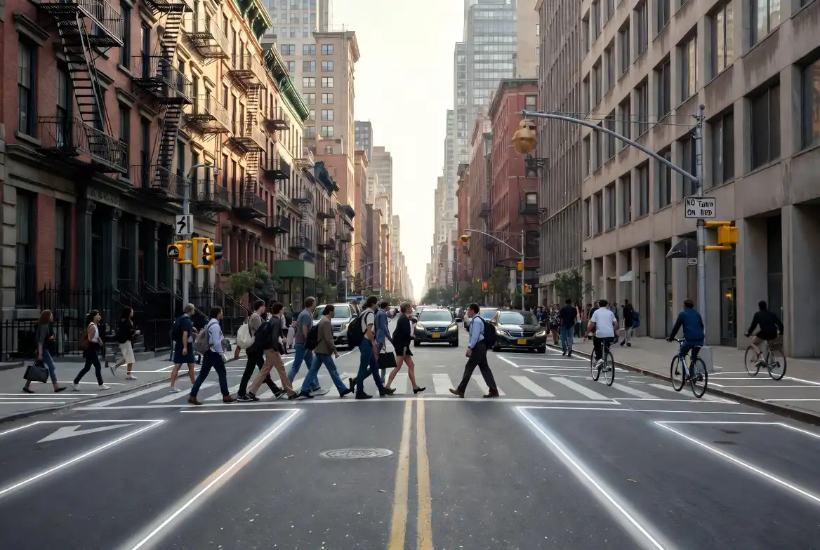
Record-Low Pedestrian Deaths Prove Vision Zero Works. Getting to Zero Will Take One More Layer — At No Cost to the City.
The numbers NYC DOT reported for the first half of 2026 are worth pausing on. Through June 29, 46 pedestrians…

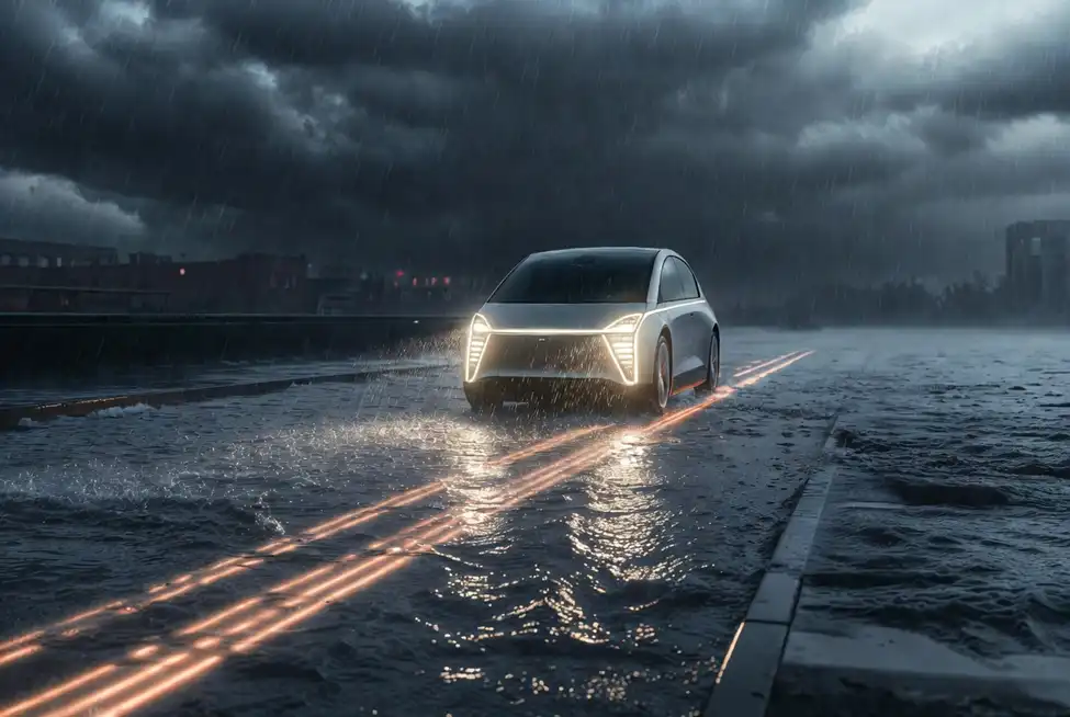
Why Waymo’s Flooded-Road Recall Proves Robotaxis Need All-Weather Positioning Infrastructure
A sixteen-year-old with a learner’s permit would have stopped at that flooded road. One of the most advanced autonomous driving…
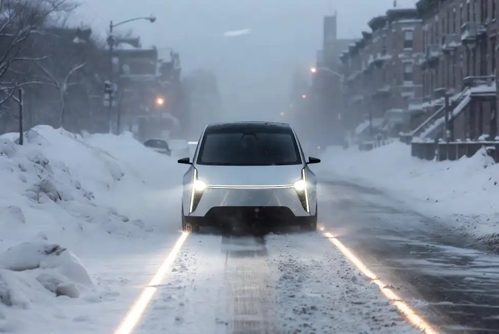
The Robotaxi Boom Has a Blind Spot. The SELF DRIVE Act Can Fix It.
The robotaxi era is no longer a forecast — it’s a fare. Waymo alone was delivering roughly 500,000 paid robotaxi…
